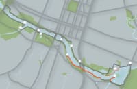
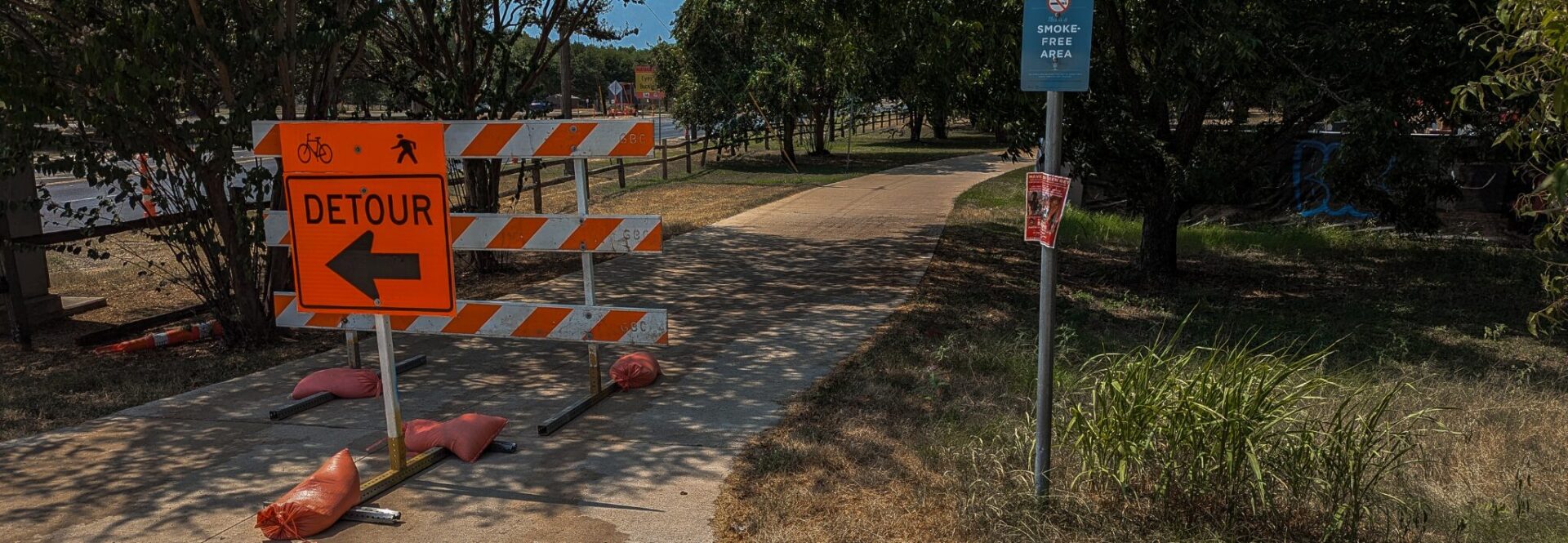
The Ann & Roy Butler Hike-and-Bike Trail is a 10-mile loop with over 200 acres of surrounding parkland, hosting over 5 million visits every year. Not only is the Trail a recreational area, but many also use the Trail daily to commute from one part of town to the other. Here are resources on how you can get to and around the Butler Trail efficiently.
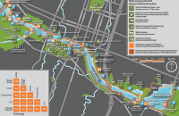
Use our interactive maps to find TTC projects, Trail routes, spoke Trails, and amenities like drinking fountains, clean restrooms, and parking. The new Augmented Reality Map lets you experience the Trail on a new level.
The Ann & Roy Butler Hike-and-Bike Trail is a 10-mile loop with over 200 acres of surrounding parkland, hosting over 5 million visits every year. Not only is the Trail a recreational area, but many also use the Trail daily to commute from one part of town to the other.
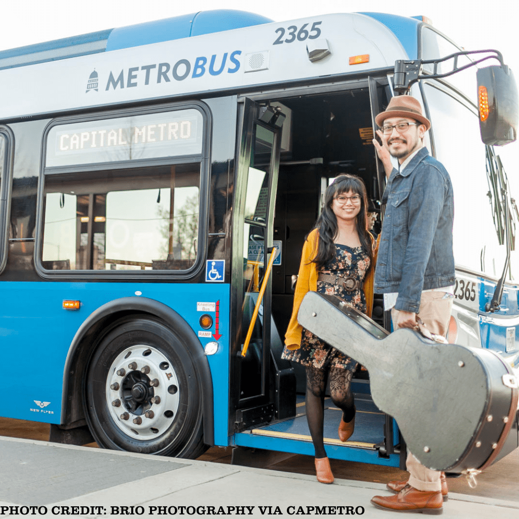
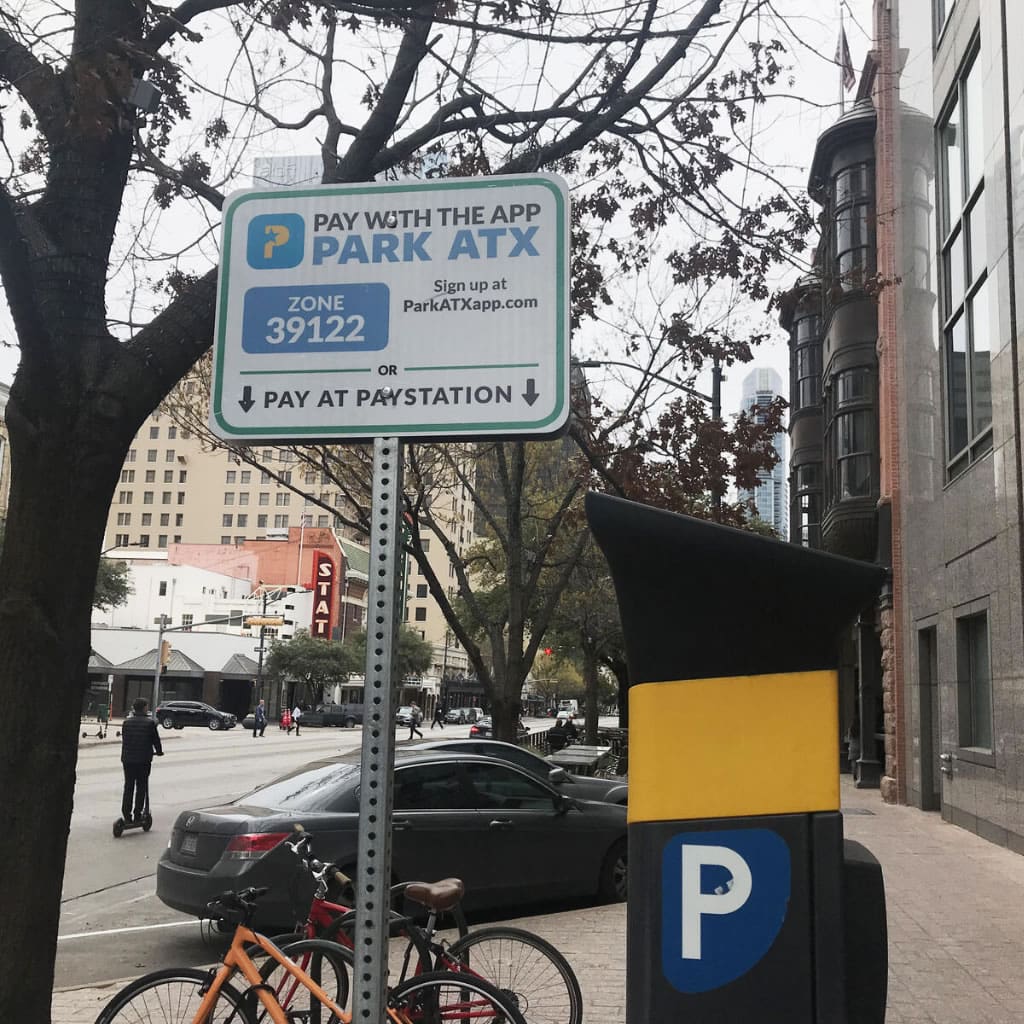
Here are resources on how you can get to and around the Butler Trail efficiently.