Phone: 1-855-44-TRAIL
1-855-448-7245
Butler Trail at Lady Bird Lake: Natural Resource & Management

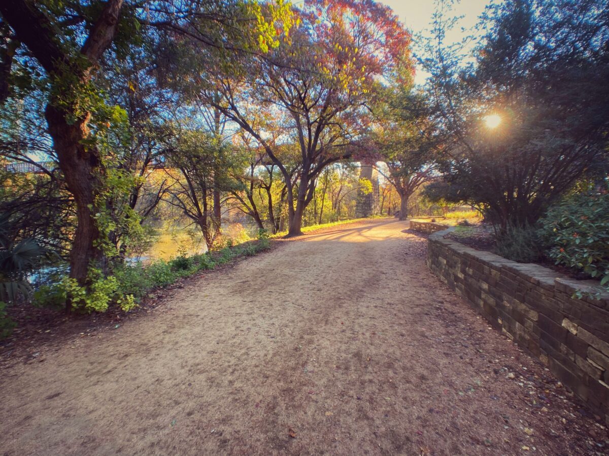
The Butler Trail Urban Forestry and Ecological Restoration work has elevated the ecological function and user enjoyment of the 200+ acres of riparian forest and parklands around the Butler Trail at Lady Bird Lake. The Trail and the broader Austin urban area will continue to benefit from this ongoing work.
The genesis for this work was TTC’s ongoing efforts to plant native trees, seed wildflowers, and remove invasive non-native tree species, which is worthy and well-received conservation work. Yet, we realized there is a dearth of data on the trees and habitat for the 10 miles of the Trail and associated woodlands. We saw that the lead City departments and TTC operate at the Trail with citywide goals such as Grow Zones, yet no integrated guidance, metrics, or priorities for Trail-specific ecological work. Other Austin plans to touch these Trail natural areas, but no plan looks at them in detail or with a focus on their health.

Cypress tree enhances the beauty of The Trail.
The Trail Conservancy commissioned an assessment by the Siglo Group to proactively look at opportunities to improve the Trail’s natural areas. Siglo was selected for this work because the local firm has expertise in conservation planning, biology, and geographic information systems.
The primary goals of Trailwide Ecological Restoration and Urban Forestry were:
• Repair and improve ecological function — manage the landscape to absorb better and clean water, regenerate native flora, filter air, create and stabilize soil, reduce temperatures, and provide shade.
• Restore and enhance plant communities — manage native trees, understory, and groundcover to create diverse and aesthetically appealing plant communities that provide rich wildlife habitat.
• Enhance resiliency — manage the landscape to adapt to and withstand drought, heavy use, climate change, and other major disturbances.
• Enhance the Trail user experience — provide aesthetically pleasing and natural surroundings in which to seek health and wellness and experience nature in the heart of our city.
• Facilitate stewardship — catalyze opportunities to appreciate and care for the natural environment as an ongoing part of people’s lives.
The City departments, Watershed Protection and Parks, collaborated and gave TTC key input because the resulting data and recommendations will be helpful. The report and recommendations are consistent with existing plans such as the citywide urban forestry plan, citywide invasive species management plan, master plans for the Holly area and Southeast Shores, Waller Creek area work, etc.
TTC now has an inventory of all of the trees, an assessment by zones of habitat types, and the needed priorities for our future conservation work.

Pontoon bridge crossing the Colorado River, 1860.
• Data acquisition and field assessments. Inventory and geolocation for 10,000 trees, plant species inventory, baseline information on topography, evaluation of hydrology, plant communities, and wildlife.
• Development of urban forestry and natural area management guidelines.
• Prioritization of specific implementation tasks by geographic management units for four years.
This work also has a larger role as well. The Nature Conservancy, a partner on the report, is including this Austin initiative in its Resilient Cities Program. This global initiative seeks to integrate the value of nature and natural infrastructure solutions like trees and urban forests into decision-making processes within cities to make urban areas more resilient and livable.
The importance of developing these guidelines was recognized by the funders of the assessment: Whole Foods Community Giving Day 2014, two local family foundations, The Nature Conservancy, and the City’s Urban Forestry Fund of the Austin Community Foundation.
The Update.
In 2022, TTC again began working with Siglo Group to create an update to this work with current, up-to-date conditions and management guidelines. This report should be completed in late 2022. It will allow TTC to steer future natural areas management and share these site conditions with the public, pertinent stakeholders, and contractors via an online GIS map.
The Physical Framework.
The urban forest and natural areas around Lady Bird Lake are part of Austin’s existence. When President Lamar sent an expedition in 1839 to find the new capital for Texas, the report came back that a stretch of the Colorado River, the river that forms Lady Bird Lake, between Shoal Creek and Waller Creek, offered the ideal location. The area’s bountiful natural resources include wooded river bottoms, clean water, and abundant wildlife. While much has changed since then, Lady Bird Lake and its surrounding natural areas are still a central reason why Austin is the great place people want to live and visit. With over 2.6 million visits every year, the Butler Trail is the most used trail in Central Texas and one of the most used trails in the country.

The bare north shore and an early runner, 1975.
The assessment area is the Butler Trail area from Deep Eddy Pool just west of MoPac to the east end of Lady Bird Lake at Longhorn Dam, a distance of about 5 miles. The natural areas ring the Lake, making a ribbon accessed by the 10-mile Butler Trail. The 199-acre area is made up of 65 acres of woodlands and 134 acres of frequently mowed lawns, occasionally mowed open space, areas without vegetation, and areas recently converted to City-designated Grow Zone—areas that are no longer mowed in hopes of a passive return to woodland.
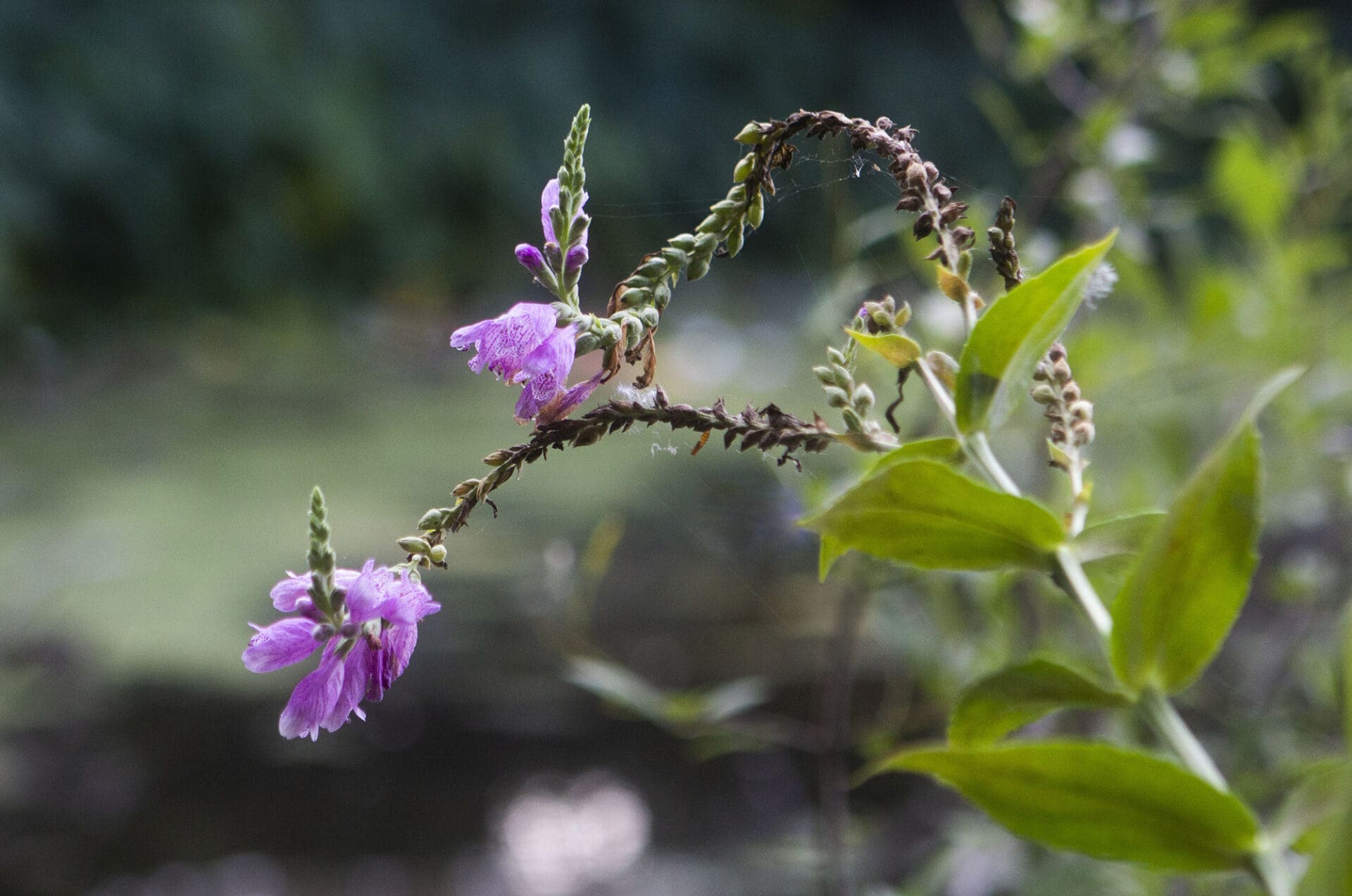
The report recognizes the geographic context of the site, which sits on the ecoregion transition from the Edwards Plateau and Hill Country to the west and the Blackland Prairies to the east. The lake connects the various greenways of our beloved creeks, including Barton, Waller, Shoal, Blunn, Bouldin, and Johnson. The river corridor is a flyway for migrating and resident bird populations, with some of the area’s most popular birding sites located both up and downstream of Lady Bird Lake. The natural areas and the world’s largest urban bat colony are part of why the City of Austin was named the most wildlife-friendly city in the United States in 2015 by the National Wildlife Federation.

View of Auditorium Shores and Seaholm Intake Structure, circa 1950.
The Lake, Trail, urban forest, and natural areas provide vital ecological services. They clean the air, reduce noise pollution, enhance water quality, sequester carbon, intercept rainfall, mitigate flooding, reduce erosion, decrease urban temperatures, shade recreation areas, protect the shoreline, provide wildlife habitat, and increase public health. These services can be enhanced with strategic resource allocation. Investments to the area are advisable, as investments in the urban forest in Austin are estimated to have almost a 1 to 10 return with growth over time as natural area improvements become established and require less work. (Austin Urban Forest Plan 2014).
Data.
The site was evaluated with geographic data analysis, detailed field evaluation, and other data:
• Tree data included a new tree inventory of over 6,000 trees and the use of City data for an additional 1400 trees, detailed arborist tree care, and risk evaluation for all trees along the Trail and in high public use areas. Data for each tree was consistent with the City of Austin standards, including species, diameter, and information about the tree’s condition.
• Invasive species data included over 1,200 points tracking species, size of the invasion, and percent cover. Soil disturbance and erosion data included 280 points tracking the type of disturbance, size, and likely cause.
• Restoration potential in documented areas where the ecological context makes restoration feasible. Significant features recorded include diverse or intact plant communities, good wildlife habitats, good views, and significant trees.
• Documentation through photographs in addition to data points, plus 68 photo points were set up for long-term monitoring.
• Plant survey found over 360 species on the site.
• Geographic data included aerial imagery, geology and soil layers, historic imagery, the City of Austin geographic data layers for tree canopy, critical water quality zones, elevation, park boundaries, and Grow Zones.

Invasive Catsclaw vine shades out and breaks branches of trees at the Trail.
The Report.
The report is grounded in the concepts of ecology, restoration, and sustainable land management.
It includes land management techniques for ecological restoration, invasive species control, trail management, erosion prevention, plant seeding, and live planting. Specific recommendations are made for each of the 16 geographic management areas broken down into needs, best management practices, and priorities for implementable tasks with measurable results. (See Appendix A for each unit’s high-priority land management tasks.)
The primary threats to the natural areas are identified: excessive mowing in areas with little recreational use, invasive plant species, soil compaction from unmanaged recreation, and erosion of soil and trail material. While some areas should continue to be mowed for recreation, numerous underutilized lawn areas are recommended for woodland expansion. Changing the mowing practices to restore these underutilized lawn areas to woodland is the best way to increase the myriad benefits we receive from the natural areas, reduce City maintenance expenses, and allow a better user experience.

Erosion along the Trail.
The report includes a multi-year work schedule, long-term management guidelines, long-term monitoring, and metrics to evaluate the success of implementation. The work tasks can be done by professionals with Watershed Protection, the Parks & Recreation Department, The Trail Conservancy via funding and managing the Texas Conservation and professional arborists, and certain tasks can be done by trained volunteers, including community groups such as The Colorado Youth River Watch, etc.

Appendix A
High-Priority Land Management Tasks for All 16 Units
• Use downed material from the area as mulch to increase organic matter in the soil where it has been eroded or depleted.
• Passively reduce patch size and health of elephant ear and giant reed through increased density of the native canopy.
• Annual mulching under trees that are currently without an herbaceous layer.
• Stabilize trail and eliminate crushed granite deposition off-trail.
• Ensure there is formal access along the water’s edge in every area to enhance the user experience and reduce degradation from informal access to the sensitive riparian area against the shoreline.
• Where the trail is within 10 ft of the water’s edge or is next to a steep slope, move the trail farther away from the water’s edge by reducing trial width(where practical) and/or moving the trail inland as space allows to increase riparian area and reduce degradation of the shoreline.
• Consider the majority of the study area as part of the growing zone and work towards a fully functional riparian area.
• Reduce the amount of underutilized mowed areas wherever feasible and restore areas to Floodplain Terrace Woodland.
• Increase diversity of plants beneficial to wildlife through seeding and live planting with special attention to areas around trails, park infrastructure, the Lake, and creeks.
• Monitor for invasives biannually and address new issues as they arise.
• Where tree establishment occurs, control for invasives and thin, more common trees to establish a more diverse canopy.
Note- Specific tasks are detailed for each of the 16 management units in the full report. The report includes a four-year work schedule as well.
Appendix B
Land Management Unit Maps

Map 1. Land Management Units from west of Mo-Pac to Congress Avenue

Map 2. Land Management Units from east of Congress Avenue to Pleasant Valley
7 events found.
Monday, May 11, 2026
No events on this day.
Tuesday, May 12, 2026
No events on this day.
Wednesday, May 13, 2026
No events on this day.
Thursday, May 14, 2026
No events on this day.
Friday, May 15, 2026
-
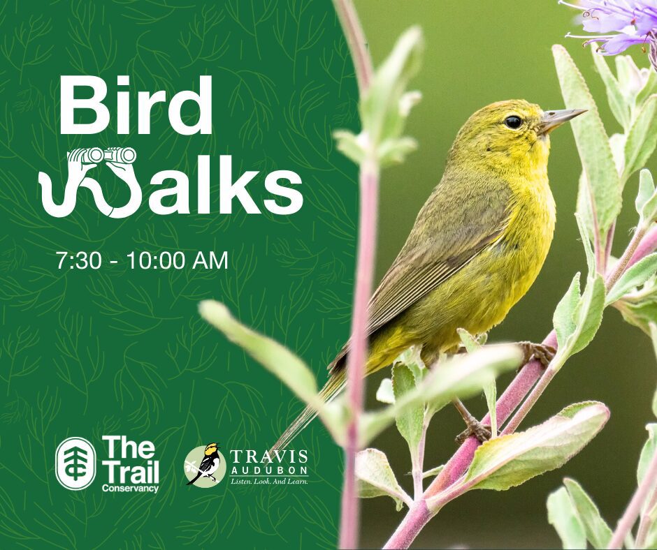
May 15, 2026 -Bird Walk with Travis Audubon
Bird Walk with Travis Audubon
Find birds on the Butler Trail at the Holly Trailhead. Join TTC and Travis Audubon for a beginner-friendly, 1-2 mile-long bird walk.
Saturday, May 16, 2026
No events on this day.
Sunday, May 17, 2026
No events on this day.